INFORMING OCEAN AND COASTAL HEALTH DECISIONS
Explore rich stories drawn from and leveraging the wealth of spatial data and maps in the West Coast Ocean Data Portal.
Coming Soon: How is Kelp Changing along the West Coast?
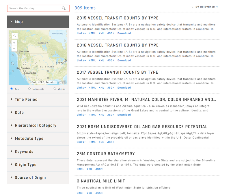
LEARNING MORE ABOUT THE WEST COAST OCEAN DATA PORTAL
Explore tutorials and examples of how to use the portal.
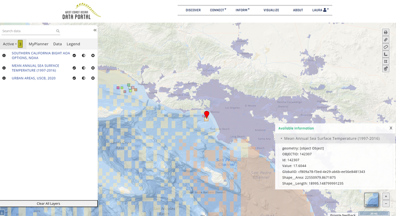
COMING SOON: HOW TO VISUALIZE
Explore curated layers in our in-browser GIS Visualization Tool
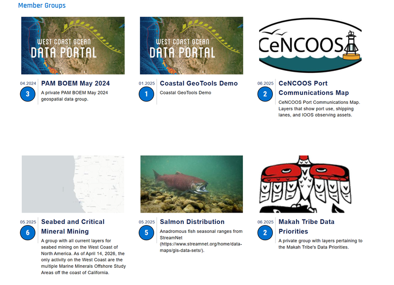
COMING SOON: MAP GROUPS
Learn how how to make a public or private map group.