How are Ocean Conditions Changing?
Beginning in late 2013, a persistent patch of warm water formed in the Gulf of Alaska.
This patch of warm water became "the blob," spanning the West Coast of North America, over 1,000 miles wide and over 300 feet deep, preventing normal circulation and upwelling patterns. Ocean temperatures remained high into 2016, negatively affecting numerous marine resources.
The ocean is changing in response to climate change, including warming temperatures, declining oxygen levels, and shifting circulation patterns.
Responding to changing ocean conditions will require leadership at a regional level, as the drivers of change are occurring at the scale of the California Current Large Marine Ecosystem. The West Coast Ocean Alliance, a group of state, tribal, and federal entities, has identified Changing Ocean Conditions as a regional priority area for coordination and action. These changes are already being observed and are expected to intensify over time.
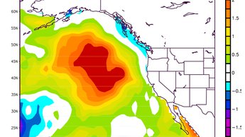
Map showing position of sea surface temperature (SST) anomaly, aka The Blob, in the northeast Pacific Ocean in March 2014. NOAA Physical Sciences Laboratory
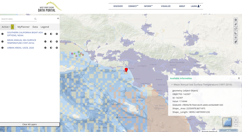
Using the Portal to Explore Changing Ocean Conditions
The West Coast Ocean Data Portal catalog can be used to discover and explore the latest climate data from contributors such as NOAA and regional IOOS' (NANOOS, CeNCOOS, and SCCOOS).
Our visualization tool can be used to ask questions such as, what's the mean annual sea surface temperature at aquaculture projects near California's urban areas?