Groups are an opportunity to share information and resources with like-minded ocean users. Create or join a map group that interests you — and invite your colleagues! Maps and drawings can be saved and shared through your group with other registered Portal users.
*Note: The West Coast Ocean Alliance reserves the right to review and remove Groups and content shared within them due to inactivity, inappropriate content or other misuse.
Member Groups
Seabed and Critical Mineral Mining
A group with all current layers for seabed mining on the West Coast of North America. As of September 18, 2025, the only activity on the West Coast is the multiple Marine Minerals Offshore Study Areas off the coast of California.
PAM BOEM May 2024
PAM BOEM May 2024 geospatial data group.
Coastal GeoTools Demo
Coastal GeoTools Demo
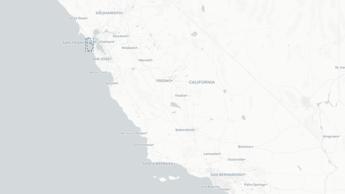
CeNCOOS Port Communications Map
CeNCOOS Port Communications Map. Layers that show port use, shipping lanes, and IOOS observing assets.
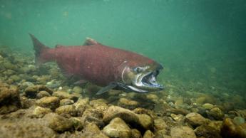
Salmon Distribution
Anadromous fish seasonal ranges from StreamNet (https://www.streamnet.org/home/data-maps/gis-data-sets/).
Makah Tribe Data Priorities
A private group with layers pertaining to the Makah Tribe's Data Priorities.